Riding the Wind: A Motorbike Journey from Guwahati to Tawang
Ride from Guwahati to Tawang via Sela Pass: route map, permits, best season, fuel stops & homestays in this motorbike guide to Arunachal’s high Himalayas.
ADVENTURE & ROUTESASSAMFEATURED STORIESEDITOR'S PICKS
5/30/20252 min read
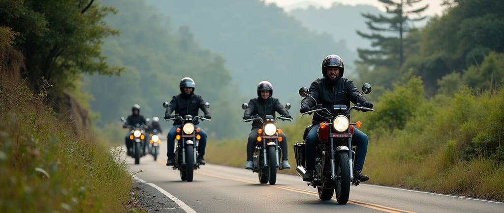
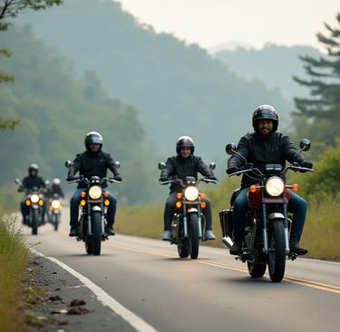
The engine thumped beneath me, steady as a heartbeat, as I weaved through Guwahati’s early morning chaos. Buses coughed smoke, chai stalls clanged with the rhythm of ladles, and somewhere a distant azaan floated through the haze. By the time the city loosened its grip, the air felt lighter. I rolled on the throttle. The road ahead was long, winding, and promised more than just a change in altitude.
Into the Hills: The Road Unfolds
Past Mangaldai, the plains began to buckle. Hills rose gently at first, then abruptly, green folds stitched with mist. I chose the Kalaktang-Shergaon-Rupa route—a less trafficked alternative to the standard Tezpur-Bomdila road. It felt more personal. Every curve brought new smells: pine sap, damp earth, woodsmoke from villages tucked into the hillside.
I stopped often. At Shergaon, a man with beetle-stained teeth offered me tea and asked about my bike. At Rupa, schoolchildren waved as they raced past on foot. The road here was forgiving—mostly smooth with the odd landslide-scar. But it wasn’t about speed. It was about the small encounters, the changing light, and the way the sky opened up just before Bomdila.
Sela Pass: Where the Air Thins and the Soul Expands
Sela Pass tested me. At 13,700 feet, the oxygen thinned and the cold cut through my gloves. But the beauty—raw and indifferent—was overwhelming. Snow stitched the edges of the road. Sela Lake, half-frozen, mirrored the sullen sky. Truck drivers draped in shawls gave curt nods.
The newly opened Sela Tunnel offered an easier route, but I stayed with the old pass. There’s something about earning the view. The switchbacks tightened, the clouds rolled in, and for a moment, I rode inside the mist, alone, suspended.
Tawang: Where Culture and History Converge
Tawang emerged like a dream after a hard ride—colorful prayer flags, crisp air, and a monastery that seemed to hold the sky. The Tawang Monastery wasn’t just massive; it was alive. Monks in maroon robes moved silently across courtyards. The chant of morning prayers seeped into my bones.
Outside, life carried on. At a street corner, I met an old woman selling butter tea and momos. She told me about the 1962 war, about soldiers who never came back, and about how the mountains remember everything.
At Bum La Pass, higher still, the wind was fierce. I stood by the Heap of Stones monument, where visitors place rocks as symbols of peace. A soldier nearby nodded toward China’s distant hills. “They’re close,” he said, “but this—this is home.”
Travel Essentials
Best Time to Go: April to June and September to October for clear roads and decent weather.
Permits:
Inner Line Permit (ILP) required for Indian citizens entering Arunachal Pradesh.
Special permit for Bum La Pass, obtained in Tawang town and stamped by the Indian Army.
Suggested Route:
Guwahati → Mangaldai → Kalaktang → Shergaon → Rupa → Bomdila → Dirang → Tawang.
Accommodation:
Budget guesthouses in Bomdila and Dirang.
Homestays and simple hotels in Tawang.
Fuel and Maintenance:
Fill up in Bomdila. Carry extra fuel and basic tools—repair options are limited.
Connectivity:
Jio and Airtel work intermittently in major towns. Don’t count on data.
Final Thoughts
This ride wasn’t just about covering distance. It was about slowing down, meeting people, listening to the wind at Sela, and watching monks light butter lamps at dawn. Guwahati to Tawang is more than a route—it’s a reminder that the best roads change you, quietly, completely.
